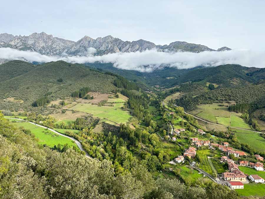
Start of Camino Lebaniego


The Camino Lebaniego follows the Nansa River. The route moves to the Senda Fluvial del Nansa and this is a scenic and local trail. What’s great is that this local trail is fairly well-marked with distances to destination. There are also occasional red arrows and signboards for the official Camino Lebaniego.
Along the river trail are diverse landscapes. There are sections with wooden bridges, meadows, and a little bit of everything. Find lots of places to rest and dip your feet in the stream which I did with my tortilla in my hand!
There’s a nice uphill that leads you down to another section of the river trail. Some sections were narrow with tubing. Make sure to follow the signboards in the direction of Central Hydroelectric de Trascudia. The trail leads to a hydroelectric building with a small waterfall. There is a small water fountain so take advantage of the fresh water and continue to follow the Camino Lebaniego signboard.


It’s an uphill climb through a beautiful meadow with sweeping views. Afterwards, come downhill and into the village of Camijanes. There are two options, to either follow the official route that follows along the road or to continue on an earth trail. I opted for the Senda which is still considered the Senda Fluvial del Nansa. This earth trail is a shorter distance, but more steep with sections of tubing.
The earth trail is recommended over the road route.

